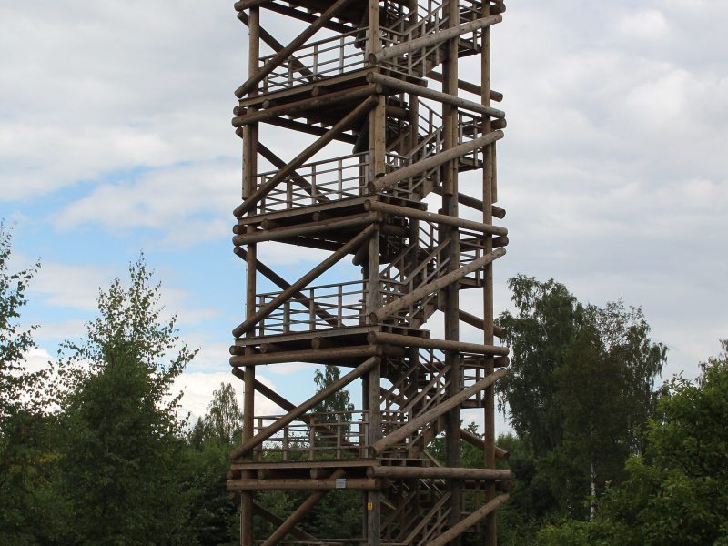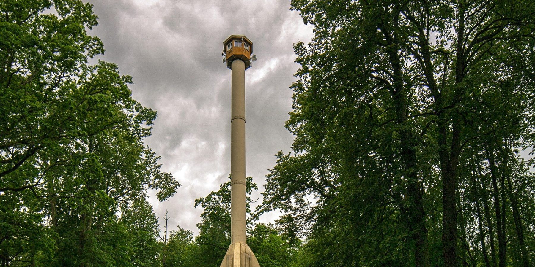
Zilaiskalns (“Blue Hill”) is the highest hill in north-western Vidzeme and one of the most legend-laden places in Latvia. For forty years its summit carried a Soviet-era fire lookout that visitors could not climb; in June 2024 a new public observation tower took its place — 38.3 metres tall, with two platforms above the treetops.
At a glance
| Location | Summit of Zilaiskalns, Kocēni parish, Valmiera municipality |
| Hill height | 126.6 m above sea level |
| Tower height | 38.3 m |
| Platforms | two — at 15.6 m and 28.8 m; stairs only |
| Opened | 20 June 2024 |
| Structure | steel frame clad in timber beams |
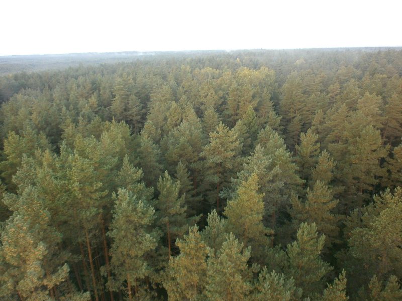
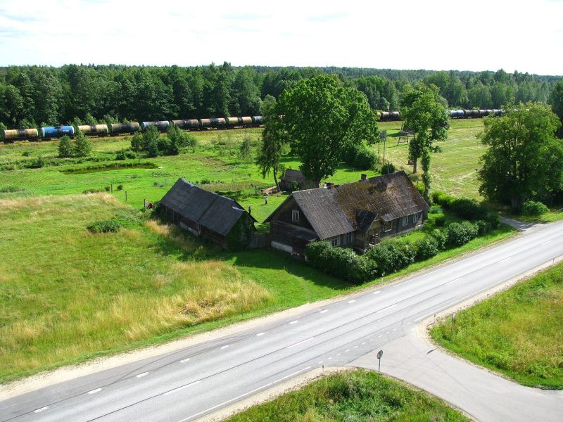
| What you see | North Vidzeme forests and meadows, towards Lake Burtnieks, the Zilaiskalns nature reserve |
From fire lookout to viewing tower
The old reinforced-concrete tower served the State Forest Service as a fire lookout for about 40 years, but it was neither open nor safe for visitors. It was taken down piece by piece in autumn 2023, and Valmiera municipality, together with the state forest company LVM and the State Forest Service, built the new tower in its place. It still doubles as a fire-watch point.
The design is by Livland Group, construction by IN GRUPA, and the tower’s visual identity by Andis Alksniņš and Andris Dzenis. The whole project, including the health trail, cost just under €1.23 million, 85% of it from the EU Cohesion Fund. It opened on 20 June 2024 and drew several thousand people over the first Midsummer days alone.
The view and the hill
The lower platform at 15.6 m sits just above the treetops; the upper one at 28.8 m opens a wide panorama over the forests and meadows of North Vidzeme towards Lake Burtnieks. After dark the tower is lit, so you can spot it from far away.
The hill is part of the Zilaiskalns nature reserve (118 ha, created in 2004) within the North Vidzeme Biosphere Reserve. In spring the slopes are covered in blue and white flowers — the busiest season. At the foot of the hill, in a former water tower, is the Zilaiskalns cultural history and visitor centre, and by the trail entrance lies an old cult stone with a bowl-shaped hollow.
A 3.5 km circular health trail starts at the visitor centre, with 12 stops covering local history, plants and animals plus simple exercises. Along the way there are stairs, benches and two picnic spots (no fire pits).
Did you know?
Before the new tower was built, archaeologists found more than 70 medieval burials on the summit. The remains were reburied in a common grave near the top, now marked with a memorial plaque. Legend also says the hero Imants lies buried inside the hill.
Visiting
- Getting there: Zilaiskalns is in Kocēni parish, west of Valmiera; a car is easiest. From the foot of the hill it is a climb of about 800 m to the summit.
- Parking: free parking; toilets on site.
- Hours and price: no official opening hours or entry fee are published for the tower; the visitor centre needs booking ahead. Valmiera Tourist Information Centre: +371 26332213.
- Accessibility: both platforms are reached by stairs only.
- In winter: stairs and the trail can be icy — take care and wear shoes with a good grip.
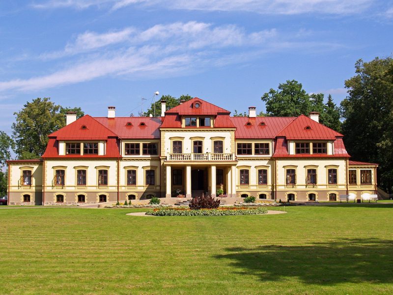
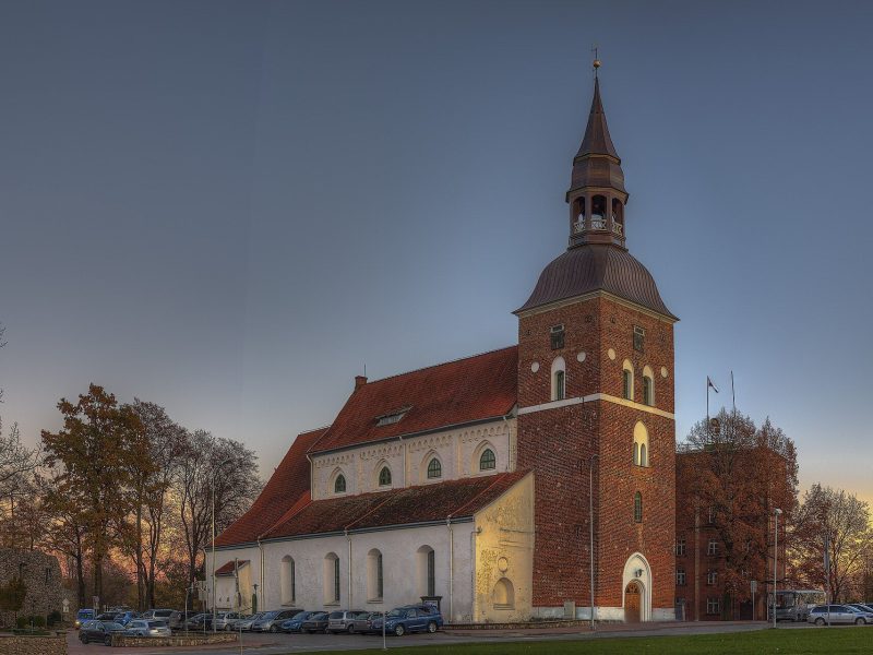
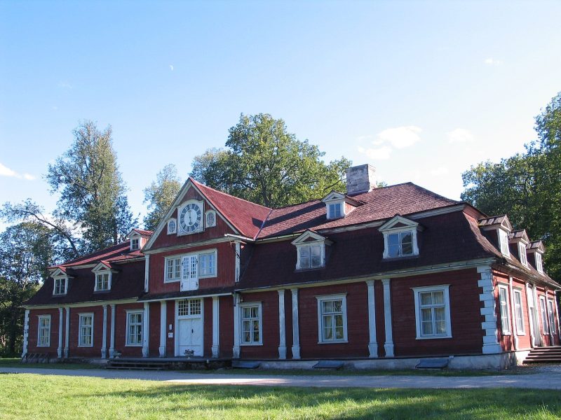
- Combine with: Dikļi Palace and Valmiera; further on in Vidzeme, Ungurmuiža and Cēsis Medieval Castle.
FAQ
How tall is the Zilaiskalns tower?
The tower is 38.3 metres tall with two platforms, at 15.6 m and 28.8 m. The hill itself rises to 126.6 m above sea level.
When did the tower open?
It opened on 20 June 2024, with the first visitors climbing it the next day. It replaced a Soviet-era fire lookout dismantled in 2023.
Why is it called the Blue Hill?
Local tourism sources link the name to an old root “zil” or “sil”, meaning strength or fortune. A less likely explanation is the blue haze rising from the surrounding bogs.
Sources: visit.valmiera.lv (2024 tower opening, Zilaiskalns); LSM (2023, 2024); esfondi.lv; lv.wikipedia.org “Zilaiskalns (kalns)”; OpenStreetMap.