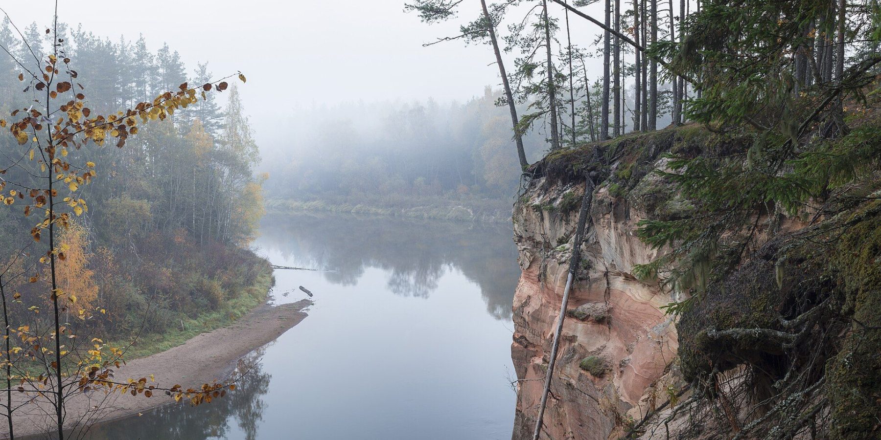
The Ērgļu Cliffs (Eagle Cliffs) are one of the great sights of the ancient Gauja valley — a red sandstone wall almost 700 metres long rising straight out of the river near Cēsis. From the car park to the viewing platform on top is under a kilometre there and back, which makes this one of the easiest walks in Gauja National Park, with one of its finest views over the river’s bends.
At a glance
| Location | Left bank of the Gauja near Pieškalni, about 6.5–7 km north of central Cēsis |
| Length | About 460 m from the car park to the viewing platform (one way) |
| Time | A short stroll — under 1 km in total |
| Difficulty | Easy |
| Surface | Forest path |
| Loop | No — out and back on the same path |
| Parking | Car park signed “Ērgļu klintis”; toilet near the platform |
| The cliffs | About 700 m long (some 330 m right along the Gauja), 18–26 m high; protected geological monument |
The route and what you’ll see
The path starts at the car park and runs through the forest to a viewing platform at the top of the cliff. From there you look north and west across the Gauja valley and its meanders — the view that makes the cliffs one of the most visited spots in Gauja National Park. Accessibility guides say the platform can be reached with a pushchair, while wheelchair users are best accompanied by a helper.
The cliff itself is an outcrop of Devonian sandstone. Look for cross-bedding, phosphorite inclusions and rusty bands left by migrating iron compounds; fossil Devonian fish have also been found here. Vertical cracks in the wall record crustal movements from the time the Gauja valley was forming. Cēsis tourism material calls it the most monolithic sandstone cliff in the Baltics.
Name and history
The cliffs used to be known as the Ērģeļu (Organ) Cliffs or Pieškalni Rock, after nearby farmsteads. Legend has it that echoes off the wall sounded like an organ. The name “Ērgļu” (Eagle) took hold after the Second World War, although eagles have never been recorded nesting here.
In the 1970s a tourist base was planned on top of the cliffs. Public protest stopped construction in 1974 and the buildings were removed — an episode that became one of the impulses for creating Gauja National Park.
Did you know?
At the eastern end of the cliffs large sandstone blocks lie at the foot of the wall — the remains of a recent rockfall. Standing right under the cliff is not safe, so if you go down to the river, keep your distance from its base.
Season and practical tips
- Getting there: drive north from Cēsis towards Pieškalni and search for “Ērgļu klintis” in your navigation app. The Cēsis tourism route “Cēsis — Ērgļu Cliffs — Jāņmuiža” (~14 km) lets you walk out from the railway station instead.
- Price: Enter Gauja lists the site and parking as free, but some map data marks the car park as paid — check on the spot.
- Best time: April to October; especially lovely in autumn when the valley forests turn colour.
- Safety: the rock is unstable and can collapse — don’t go to the cliff edge outside the platform and don’t climb the wall.
- Combine with: Cēsis Medieval Castle and the rest of our guide Things to do in Cēsis; further down the Gauja, the Līgatne nature trails.
FAQ
How far is it to the viewing platform?
About 460 m one way from the car park along a forest path — under a kilometre in total.
Do eagles nest at the Eagle Cliffs?
No. The old name was the Organ Cliffs; “Eagle” caught on after the Second World War, but no eagle nests have ever been recorded here.
Can you get down to the river?
There is a beach at the foot of the cliffs, but rocks do fall from the wall. Follow the signs and don’t linger directly beneath it.
Sources: lv.wikipedia.org “Ērgļu klintis”; entergauja.com “Ērgļu Cliffs”; Cēsis TIC route “Cēsis — Ērgļu (Ērģeļu) Cliffs — Jāņmuiža” (visit.cesis.lv); celotajs.lv; mapeirons.eu (accessibility, distance to platform); OpenStreetMap (car park). Details may change — check before you go.