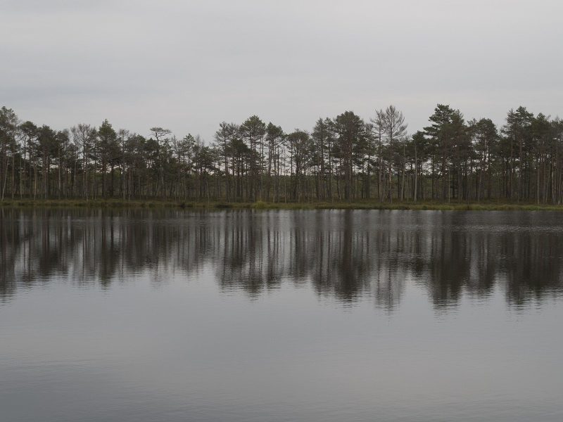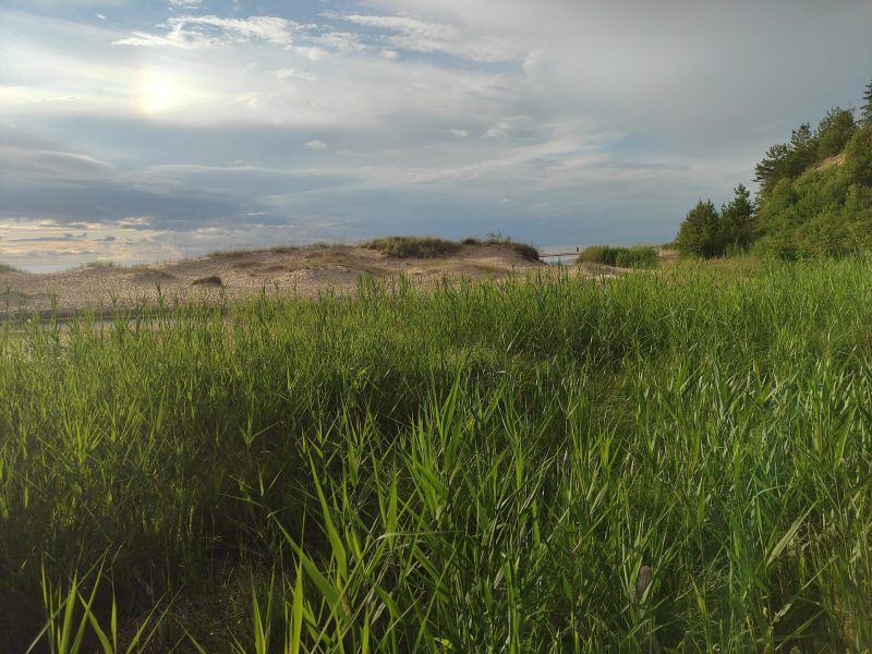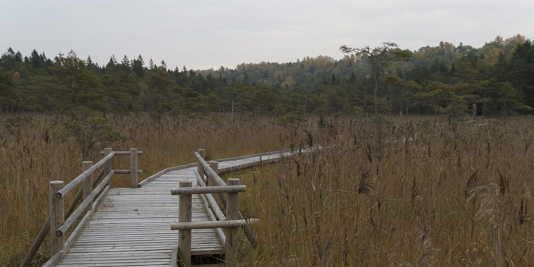
The Šlītere Nature Trail in Slītere National Park is a short but striking walk at the foot of the Blue Hills (Zilie kalni) scarp — through the oldest part of the park, protected since 1923. The 1.2 km trail starts at Šlītere Lighthouse; steep stairs lead down the shore of the ancient Baltic Ice Lake, and boardwalks take you through broadleaf forest, a calcareous fen and wet alder woodland.
At a glance
| Location | At Šlītere Lighthouse, Dundaga parish, Talsi municipality |
| Length | 1.2 km |
| Difficulty | Easy, but with steep stairs down the scarp |
| Surface | Stairs and wooden boardwalks |
| Protection | The oldest part of Slītere National Park, protected since 1923 |
| Managed by | Nature Conservation Agency of Latvia |
The Blue Hills — an ancient ice-lake shore
The Blue Hills are the former shoreline of the Baltic Ice Lake, a scarp cut by its waves after the last Ice Age. The scarp runs for more than 20 km, about 9 km of it inside the national park, and rises up to 42 m in places. The trail follows its slope and foot, so you get a real sense of how high the water once stood above today’s sea.
What you’ll see
Expect old, largely natural broadleaf and spruce forest with big trees and deadwood, a calcareous fen and wet black-alder woodland. In spring the slopes are covered in white wood anemones and blue hepaticas, and a protected common yew grows by the path. Rare and declining insects and mosses live here, some found nowhere else in Latvia. After storm damage the trail was repaired and reopened in May 2022.
Šlītere Lighthouse
The trail starts at Šlītere Lighthouse, built in 1849 by Baron Osten-Sacken of Dundaga manor. It is Latvia’s furthest-inland lighthouse — about 5 km from the sea — and stands right on the edge of the Blue Hills scarp. Its light shone from 1961 to 1999; today it no longer serves navigation and is a protected industrial heritage monument. The lighthouse and the neighbouring building open to visitors seasonally, according to the Nature Conservation Agency from 1 May to 15 October.
Did you know?
Šlītere is the only Latvian lighthouse that no longer has a navigation role — it stands about 5 km from the sea on the edge of the Blue Hills, where the Baltic Ice Lake once lapped.
Visiting
- Getting there: drive to Šlītere Lighthouse in Slītere National Park (Dundaga parish); the trail starts by the lighthouse.
- Hours and price: the trail is open access and free; the lighthouse opens seasonally (usually 1 May–15 October). Check current details at daba.gov.lv.
- Trail length and difficulty: 1.2 km, easy but with steep stairs — not suitable for pushchairs.
- Time needed: 45 minutes to 1 hour for the trail, plus time for the lighthouse.
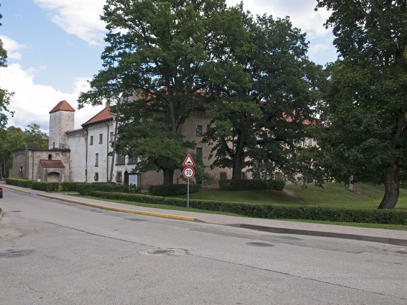
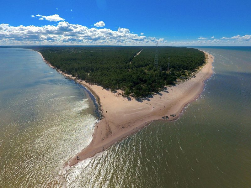
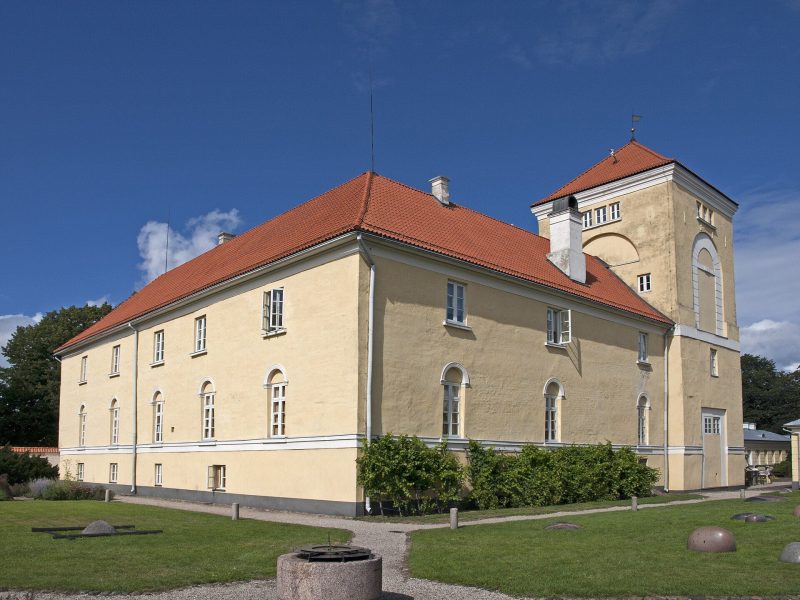
- Combine with: the nearby Insect and Pēterezers trails, Cape Kolka and Dundaga Castle.
FAQ
How long is the Šlītere Nature Trail?
1.2 km. It starts at Šlītere Lighthouse and follows the slope and foot of the Blue Hills scarp.
Can I bring a pushchair?
No — there are steep stairs down the scarp at the start.
What are the Blue Hills?
An ancient shoreline of the Baltic Ice Lake: a forested scarp more than 20 km long, up to 42 m high in places.
Sources: LV portāls (Nature Conservation Agency releases, 2022–2023, 2026); LSM (31 May 2019) on the history of Šlītere Lighthouse; celotajs.lv “Slīteres Zilie kalni”; redzet.lv; en.wikipedia.org “Slītere Lighthouse”.