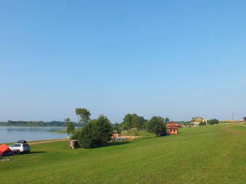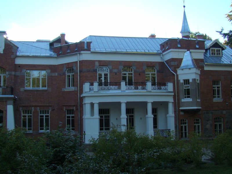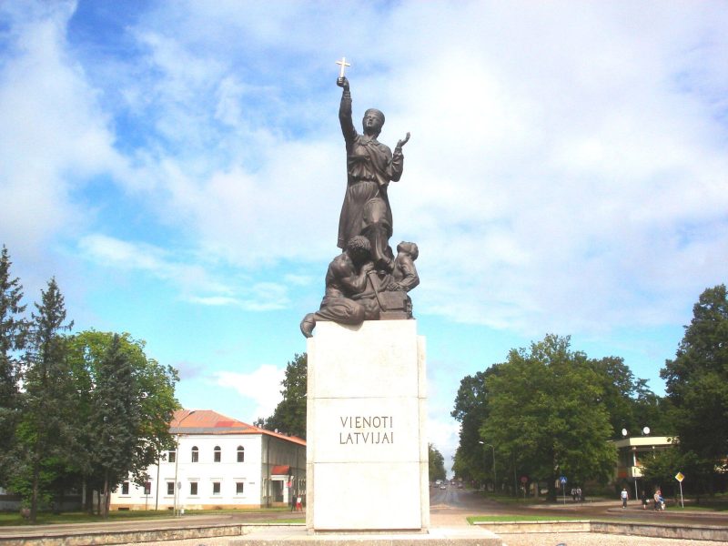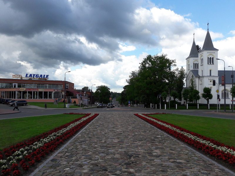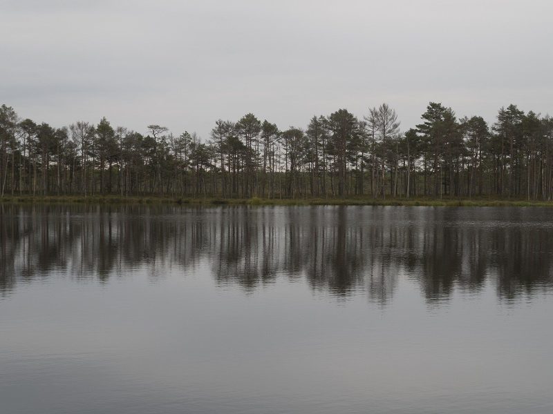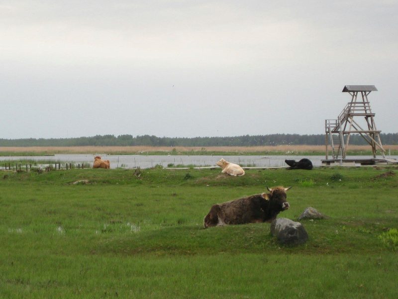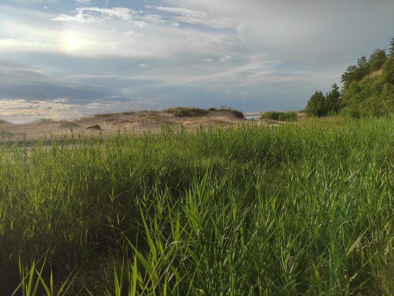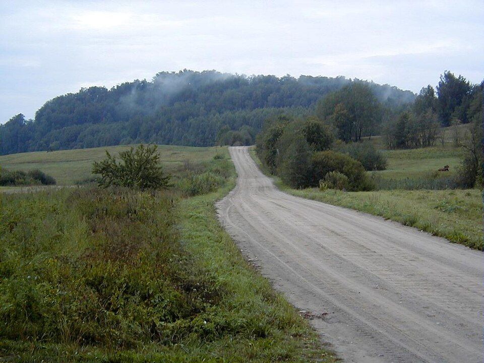
Mākoņkalns — “Cloud Hill”, also called Padebešu kalns — in Rāzna National Park is one of the finest viewpoints in the Latgale Upland. Wooden stairs climb to the ruins of the Livonian Order’s Volkenberg castle with views over Lake Rāzna, and a few kilometres away the Boulder Trail leads to legendary stones: the Devil’s Foot, the Horse’s Foot and Āžmugura.
At a glance
| Location | Mākoņkalns parish, Rēzekne municipality, Rāzna National Park |
| Height | About 247–249 m above sea level (sources differ); ~50 m above the surroundings |
| Ruins | Volkenberg castle — one of the first Order strongholds in Latgale |
| Boulder Trail | 1,171 m one way; both branches there and back — 2,342 m |
| Difficulty | Easy; stairs up the hill, forest, meadow and bog sections with boardwalks |
| Entry | Free |
Volkenberg ruins and the view of Lake Rāzna
Mākoņkalns is a hill in the Burzava hills of the Latgale Upland, about 2.1 km south-west of Lake Rāzna. On top stood Volkenberg castle, one of the first crusader strongholds in Latgale, built by the Livonian Order after the lands of Jersika were divided. Rēzekne municipality gives 1252 as the building date, while some sources mention a wooden castle as early as 1236. The castle was still in use in the mid-14th century but was destroyed in wars with the Lithuanians in the 14th–15th centuries and never rebuilt.
Today you can see large fragments of the defensive wall and a collapsed underground passage. Wooden stairs lead to the summit, with views of Lake Rāzna and the smaller Lake Ubagova. At the foot of the hill a plaque, unveiled in 1938, marks President Kārlis Ulmanis’s visit to Latgale.
The Boulder Trail
The Boulder Trail (Akmeņu taka) leaves the Lipuški–Bondari road at about the 3rd kilometre and splits in two. To the right, less than 100 m away, is the Flat Stone, and 150 m further the triangular Āžmugura, shaped like a goat’s back. To the left, about 700 m along, is the Jaunstašuļi Devil’s Foot, and 300 m further the Horse’s Foot with a hoof-like hollow. The trail is marked with pictograms and has a rest area, information board and picnic spot.
Did you know?
The Jaunstašuļi Devil’s Foot is only 0.75 m high but 5.85 m round at ground level. It bears a footprint-shaped hollow about 30 cm long and is a protected cultural monument of national importance.
Visiting
- Getting there: drive south-east from Rēzekne towards Lake Rāzna. The Boulder Trail starts on the Lipuški–Bondari road (~3rd km), where you can park.
- Hours and price: open access, free; best outside the snow season.
- Trail length and difficulty: Boulder Trail 2,342 m there and back, easy; stairs up Mākoņkalns. Not suitable for bikes or pushchairs.
- Time needed: 1.5–2 hours for both sites.
- Combine with: Rēzekne and the Māra of Latgale, or Lūznava Manor.
FAQ
How high is Mākoņkalns?
About 247–249 m above sea level (sources differ), rising some 50 m above the surrounding land.
What is left of Volkenberg castle?
Fragments of the defensive wall and a collapsed underground passage on the summit.
Is the Boulder Trail good for kids?
Yes, it is short and easy — just not for pushchairs, as it crosses forest, meadow and bog sections with boardwalks.
Sources: lv.wikipedia.org “Mākoņkalns”; rezeknesnovads.lv (Mākoņkalns; Boulder Trail); daba.gov.lv (Rāzna National Park).