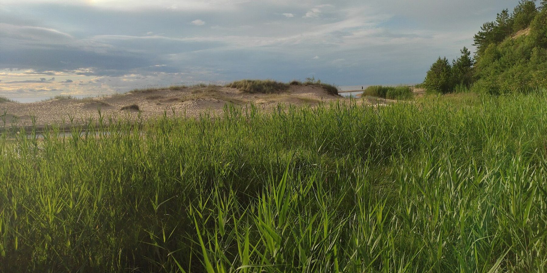
In Saulkrasti, where the Inčupe flows into the sea, stands the White Dune (Baltā kāpa) — an 18-metre sand bluff that once helped fishermen find their way home. From it the 3.6 km Sunset Trail (Saulrieta taka) winds along the coast to the town centre, through pine forest on the dune ridge with viewpoints over the sea and the Pēterupe valley. It is one of the most popular walks on the Vidzeme coast, with 100,000–150,000 visitors a year according to 2018 figures.
At a glance
| Location | Kāpu iela, Saulkrasti (Pabaži), right bank of the Inčupe mouth |
| Length | Sunset Trail — 3.6 km (some sources say about 4 km) from the White Dune to the Saule bridge in the town centre |
| Time | Not given in sources; 3.6 km one way |
| Difficulty | Walking path through forest along the dune ridge |
| Surface | Paths through pine forest; boardwalks at the dune |
| Loop | No — linear; return the same way or along the beach |
| Parking | Paid car park on Kāpu iela by the White Dune |
| The dune | 18 m high; natural and cultural monument |
The route
The walk begins at the White Dune. From the top you look out over the sea, the mouth of the Inčupe and the wide beach. The path up to the dune runs along a linden avenue named after Catherine II — legend says the empress planted the trees while holidaying on the Pabaži coast. In 2018 a giant listening horn stood on top of the dune, an idea by artist Ivars Drulle, that lets you tune in to the sound of the sea and the pines.
From the dune the Sunset Trail heads north along the dune ridge through pine forest, past the foredunes and the Pēterupe, to the Saule bridge in the town centre. There are several viewpoints over the river valley and the sea on the way. Along the path, signs featuring Frīda the hedgehog and Fredis the hare ask you to keep quiet and not to litter, and one section even has a crossing built for insects.
How the White Dune formed
The bluff formed at the end of the Littorina Sea period, roughly 4,000–5,000 years ago. In the 17th–19th centuries forests in southern Saulkrasti were cleared, and the wind piled the loose sand into bigger dunes, raising the White Dune too. It takes its name from white, hardened layers of sand that look like sandstone. In 2018 part of the dune collapsed, undercut by the sea and, from the side, by the Inčupe.
Did you know?
Some of the pines beside the Sunset Trail are more than 200 years old — they have survived harsh winds, a cool climate and poor sandy soil.
Season and practical tips
- Parking: under Saulkrasti municipality regulation No. 40/2022 the fee is €2 for the first hour and €4 for each further hour, daily 8:00–23:00; the first 5 minutes are free. Check the rates on site.
- Best time: the trail is open year-round; as the name suggests, the sea view is especially lovely at sunset.
- Safety: the dune slopes are fragile — stay on the paths and boardwalks and don’t climb the reinforced slopes.
- The other way round: you can also start at the Saule bridge in central Saulkrasti and walk to the dune.
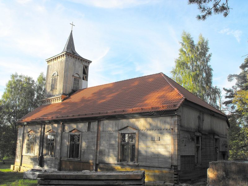
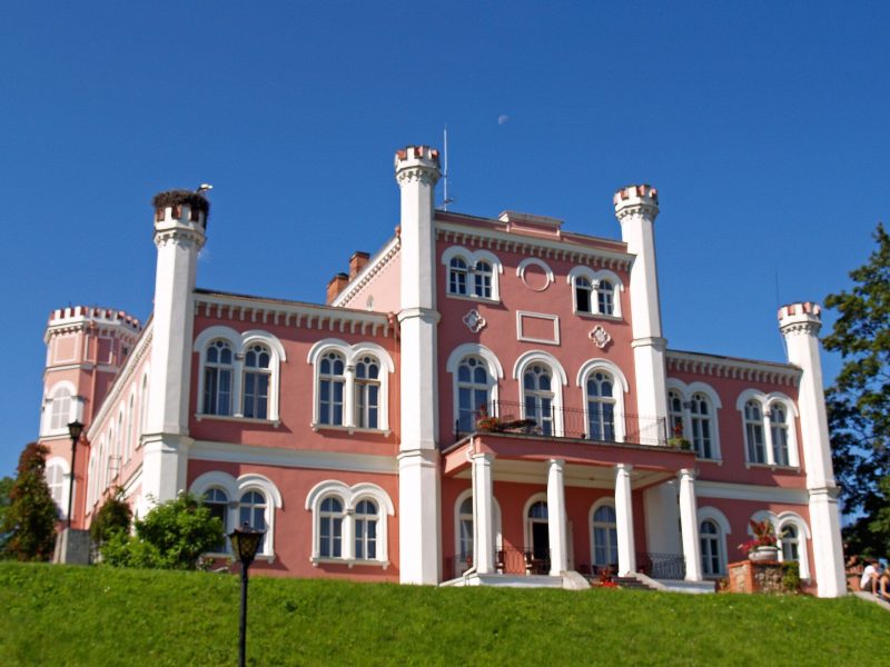
- Combine with: Bīriņi Castle or Carnikava Lutheran church on the way back to Riga.
FAQ
How long is the Sunset Trail?
3.6 km from the White Dune to the Saule bridge in central Saulkrasti (some sources say about 4 km).
How high is the White Dune?
About 18 metres.
Is parking at the White Dune paid?
Yes — there is a paid car park on Kāpu iela (€2 for the first hour, then €4 per hour, 8:00–23:00).
Sources: latvia.travel “White Dune, Saulkrasti”; celotajs.lv “Baltā kāpa”; lv.wikipedia.org “Baltā kāpa (Saulkrasti)”; LSM (27 Jul 2018) on the Sunset Trail; likumi.lv — Saulkrasti municipality regulation No. 40/2022; OpenStreetMap (car park). Details may change — check before you go.