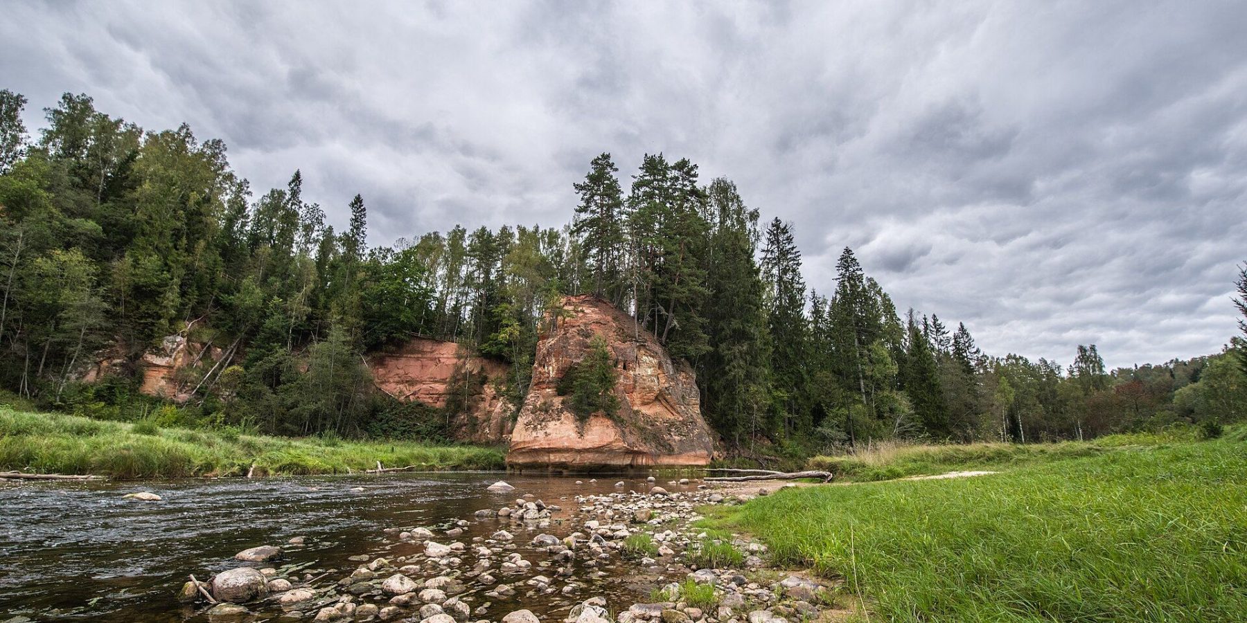
The Amata valley is one of the deepest river valleys in Latvia, and the path along it is one of the most beautiful — and toughest — hiking trails in Gauja National Park. Its best-known landmark is Zvārte Rock (Zvārtes iezis), a sandstone bluff up to 44 metres high that local legend links to witches and devils. You can drive to the rock and walk only a short stretch, but the full trail from Amatciems to Veclauči Bridge is about 21.5 km.
At a glance
| Route | Amatciems — Melturi — Kārļamuiža — Kārļi — Zvārte Rock — Veclauči Bridge |
| Length | About 21.5 km; sections of 5 + 3.5 + 9.5 + 3.5 km |
| Time | 8–11 hours for the whole trail; Zvārte Rock — Veclauči Bridge 1–2 h |
| Difficulty | Hard — steep, high banks and deep side ravines |
| Surface | Mostly forest paths; gravel road on Amatciems — Melturi |
| Waymarking | Orange and bright red diamonds on trees from Melturi to Veclauči Bridge |
| Loop | No — linear; can be walked in sections |
| Parking | At Zvārte Rock, next to the seasonal visitor centre |
The route, section by section
The trail starts in Amatciems or at the A2 road bridge over the Amata. The first 5 km to Melturi follow a gravel road and forest paths; the next 3.5 km to Kārļi pass dolomite outcrops — Īļaku Rock, Vizuļu Rock, where springs freeze into icefalls in deep winter, and the Dolomite Cliff. Kārļi is home to one of Latvia’s oldest fish farms, which plays an important role in conserving wild salmonid fish.
The longest section — 9.5 km from Kārļi to Zvārte Rock — is also the most spectacular. The Ainavu Cliffs are about half a kilometre long and up to 46 m high, Ķaubju Rock at 45 m is among the highest in Latvia, and the Stūķu, Dzilnas and Incēnu rocks follow. The final 3.5 km from Zvārte Rock to Veclauči Bridge pass Migla Rock, Čūsku Rock behind the suspension bridge and Vanagu Rock with its caves and springs.
Zvārte Rock
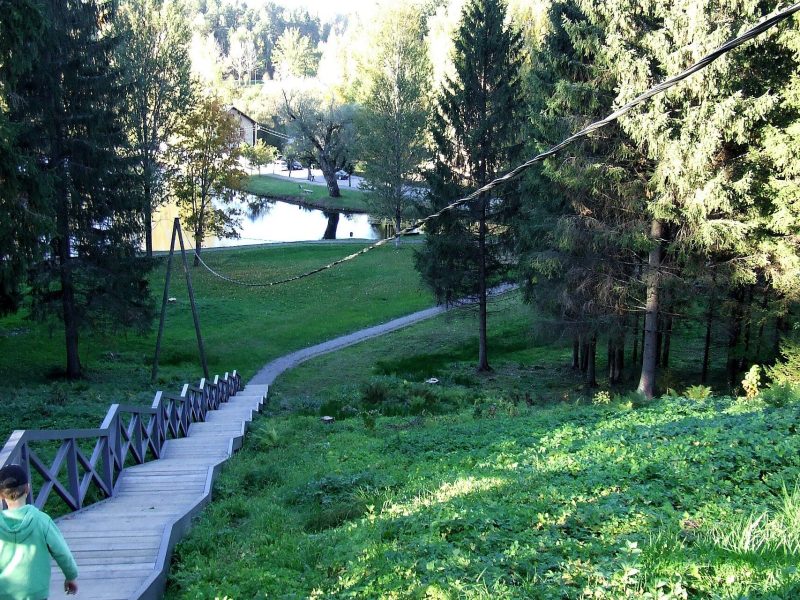
Zvārte Rock is a protected geological monument of national importance, about 200 m long in all. Its south-eastern part is a semicircular collapse scarp up to 44 m high, while to the north-west the river has carved a spur up to 19 m high. Most of it is Gauja Formation sandstone, topped by some 3 m of Amata Formation rocks. In 1939 the Amata was straightened beside the rock to stop it undercutting the spur. Wooden stairs lead to the top, a footbridge crosses the river, and there are three viewpoints.
Did you know?
In folk tales Zvārte Rock is where witches and devils met — especially at Midsummer, Whitsun and on New Year’s Eve. The witches were said to fly in on broomsticks from the Zilūži and Vilkate forests.
Season and practical tips
- Best time: April–October. The valley is at its most colourful in autumn, but the steep slopes get slippery after rain.
- Shorter option: drive to Zvārte Rock and walk the 3.5 km stretch to Veclauči Bridge, or just climb the stairs to the top of the rock.
- Visitor centre: a seasonal centre by the rock has information on the Amata trails; check current opening times on visit.cesis.lv.
- Safety: dolomite slides are possible in spring and autumn; don’t climb on the outcrops. The left bank from the Zvārte meadow to Veclauči Bridge lies in the Roči nature reserve zone, where entry is prohibited.
- Combine with: the Līgatne nature trails or Cēsis.
FAQ
How long is the Amata trail?
About 21.5 km from Amatciems to Veclauči Bridge. You can walk it in sections of 5, 3.5, 9.5 and 3.5 km.
Is it suitable for children?
The short stretches around Zvārte Rock, yes; the full trail is hard, with steep slopes and ravines. With kids, pick the Zvārte Rock — Veclauči Bridge section.
How high is Zvārte Rock?
The tallest part, the collapse scarp, reaches 44 m; the river-cut spur is up to 19 m high.
Sources: entergauja.com route “Amata Rocks and Cliffs”; visit.cesis.lv “Zvārtes Rock”; lv.wikipedia.org “Zvārtes iezis”; redzet.lv “Amata Geological Trail”; OpenStreetMap (parking). Details may change — check before you go.